


Extended Flight Time, High Speed
Performance
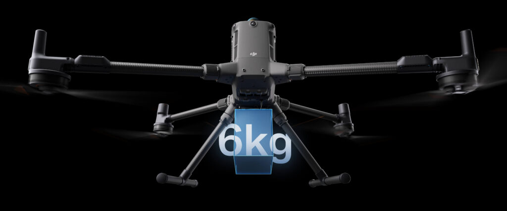
Up to 6kg Payload Capacity
Safe and Reliable Flight
Enhanced Intelligence and Efficiency
Automated
Operations
Comprehensive
Eccessory Upgrades
DJI Care Enterprise
Extended Flight Time,
High Speed Performance
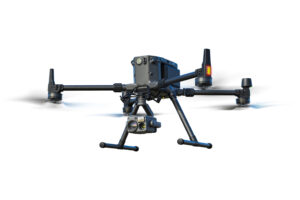
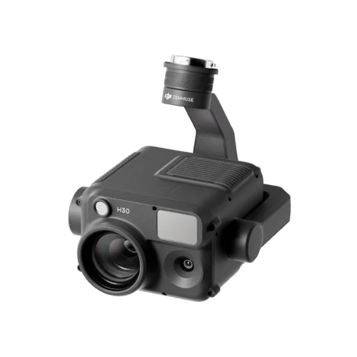
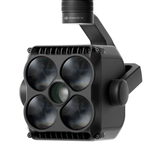
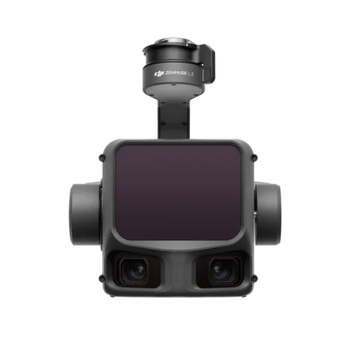
DJI Matrice 400, the enterprise flagship drone platform, boasts an impressive 59-minute flight time [1], a payload capacity of up to 6 kg [2], and integrated rotating LiDAR and mmWave radar for power-line-level obstacle sensing [3]. It also supports the O4 Enterprise Enhanced Video Transmission and Airborne Relay Video Transmission [4], ensuring safer handling and easier operations. Combining Smart Detection with visible and thermal imaging, AR projection, ship-based takeoff/landing, and advanced automation, Matrice 400 excels in emergency response, power inspections, mapping, and AEC.
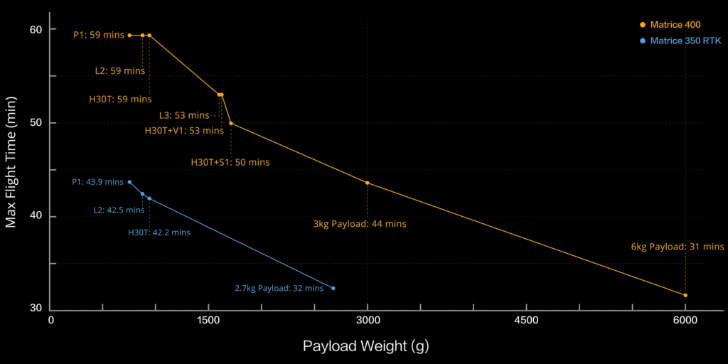
Up to 59 Mins
Forward Flight Time
Up to 25 m/s
Flight Speed
Multi-Payload, Multi-Scene
Flight Time [1]
Flight Time [1]
Built for Challenging Conditions
IP 55
Ip Rating
-20° to 50° C (-4° to 122° F)
Operating Temperature
Power-Line-Level Obstacle Sensing [3]
Robust Video Transmission
O4 Enterprise Enhanced Video Transmission System
Matrice 400 also supports the sub2G frequency band [5], and when equipped with two DJI Cellular Dongle 2 [11], it can automatically switch to the better available carrier network, providing a more stable signal even in urban interference environments or remote regions.
Airborne Relay Video Transmission [5]
Aircraft Fusion Positioning
Full-Color Vision Assist
Enhanced Intelligence and Efficiency
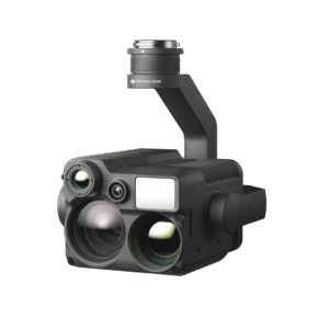
Smart Detection [14]
Smart AR Projection
During tasks such as power grid inspection, the obstacle sensing system automatically detects frontal wire obstacles [3] and displays easily recognizable AR lines on the remote controller’s screen, making the surrounding environment clear at a glance and ensuring safer flight.
Real-Time Terrain Follow
During large-scale search and rescue operations, the size of ground subjects can be kept consistent on the remote controller screen, reducing the need for frequent zoom adjustments and improving efficiency. During mapping missions, a consistent ground sampling distance (GSD) can be maintained to obtain high-precision mapping data.
Takeoff and Landing on Ships [16]
Intelligent Flight Modes
Easier Automated Operations
Software Designed for Industries
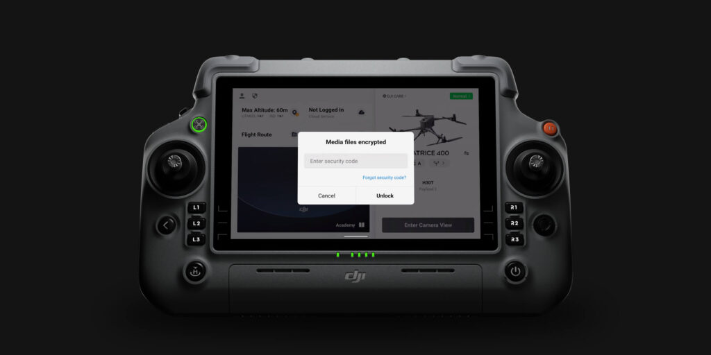
User Data Security