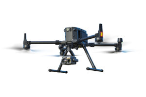


Mission Situational Awareness
Gain aerial intel on developing situations with real-time, high-quality imagery, supporting ground teams and enhancing decision-making.

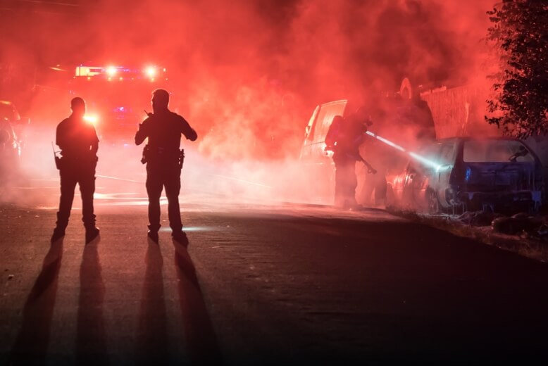
First Response
Reduce response time and allocate resources more effectively with timely Drone as First Responder (DFR) operations
Collision Reconstruction and Forensics
Clear roads faster with efficient and accurate drone-based data collection and reconstruction. Ensure personnel safety and digitize your forensics process.
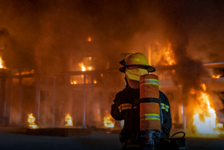
Urban Fires
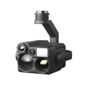
Tackle urban fire emergencies with drone thermal readings; improve your response efforts by localizing hotspots and deploying teams more effectively.
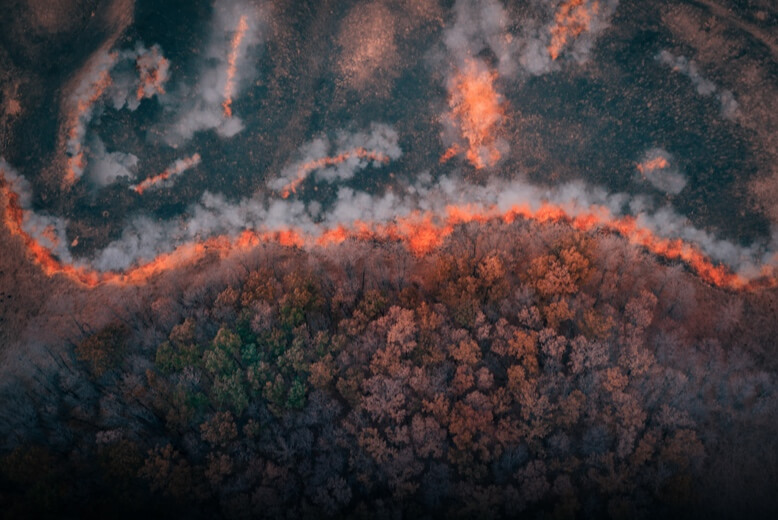
Wildfires
Enhance wildfire response by providing critical aerial information. Identify hotspots more accurately and improve responders' safety while aiding in the strategic deployment of resources.
Additional Response
Diversify your response scope for Hazmat, water rescue, and other unexpected emergencies with multipurpose aerial support.
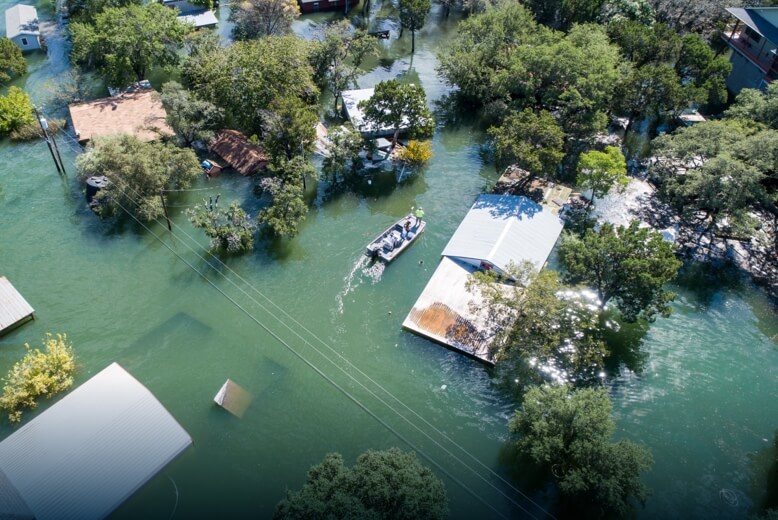
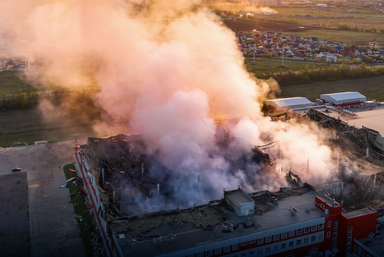
Disaster Prevention and Response
Harness the power of drones to capture critical visual and thermal data, enhancing prevention strategies and response tactics during natural disasters, including floods, landslides, earthquakes, and more.

Search and Rescue
Swiftly aid search and rescue missions by covering extensive and difficult-to-navigate landscapes, utilizing aerial thermal imaging to pinpoint the whereabouts of lost individuals.
Private Security
Swiftly patrol large areas to identify potential security threats and support ground teams with enhanced situational awareness.

Wildlife Protection
Wildlife monitoring and preservation are crucial yet challenging endeavors. Drones enhance the efficiency of monitoring efforts by quickly covering vast areas and pinpointing subjects of interest with high-resolution zoom and thermal imaging cameras.