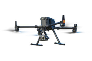


Land Survey
Quickly generate accurate 2D and 3D models. Cover more ground, improve safety, and reduce costs.
Cadastral Survey
Boost the efficiency of land administration and cadastral processes by using high-accuracy UAS solutions to quickly generate digital models.

Urban Planning
Create accurate 2D and 3D models that integrate seamlessly with local geographic information systems, helping teams visualize results.
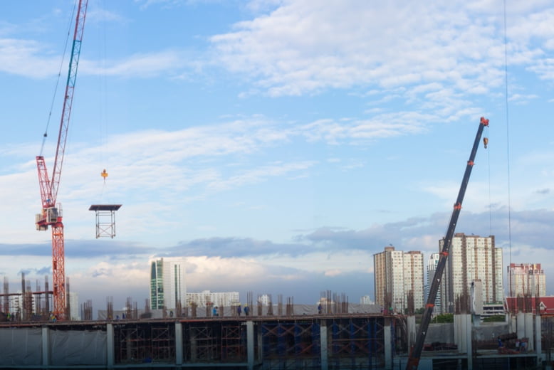
Progress Management
Track construction progress more efficiently and with streamlined team collaboration using highly accurate drone-generated visual data.
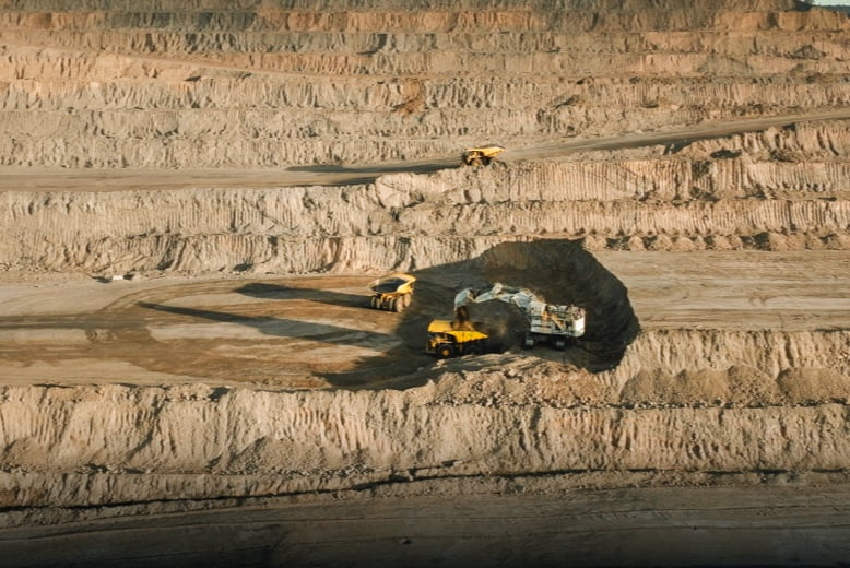
Earthwork
Enchance earthwork operations through frequent and accurate earth movement and stockpile volume measurements.

BIM
Collect accurate information of your assets for Building Information Modeling (BIM) processes with efficient and precise data capture.
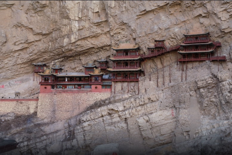
Heritage Preservation
Create accurate digital reconstructions of historical sites to optimize research and preservation efforts.
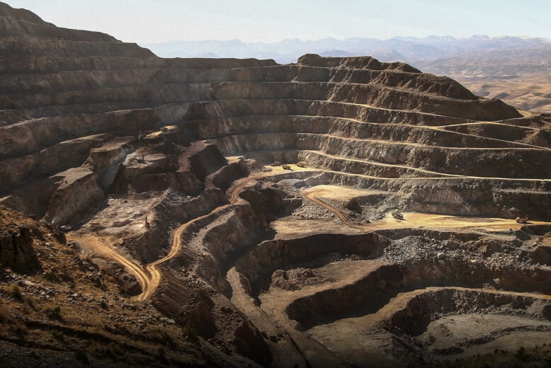
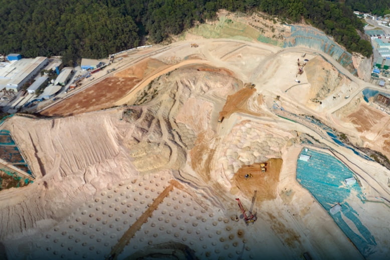
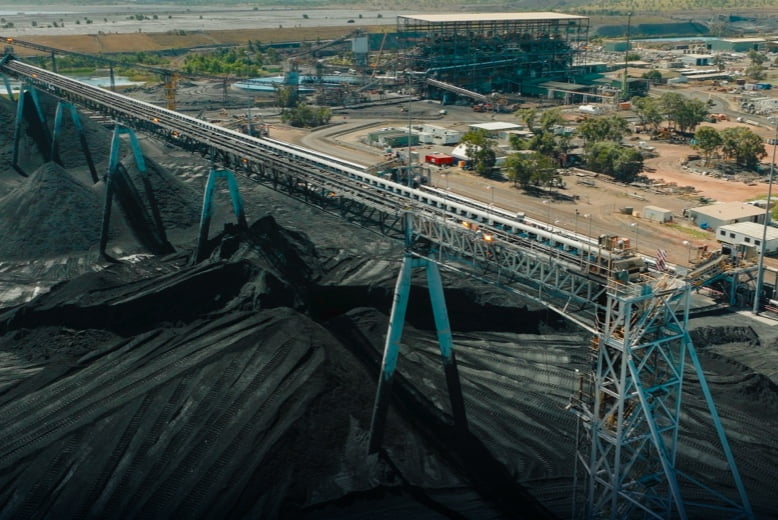
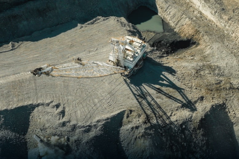
Mining Survey
Optimize stockpile measurements and pit modeling processes with a safer, faster, and more accurate data collection alternative compared to traditional surveying methods.
Facade High Wall
Reduce mine risk and enhance operations with frequent and accurate facade high wall modeling.
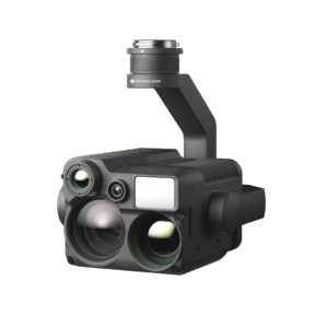
Asset Inspection
Improve asset inspection efficiency with visual and thermal data collection without disrupting ongoing operations.
Site Safety
Improve mining safety and optimize operations through work site aerial views and data collection capabilities.
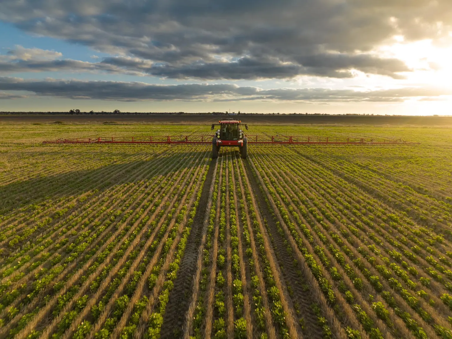
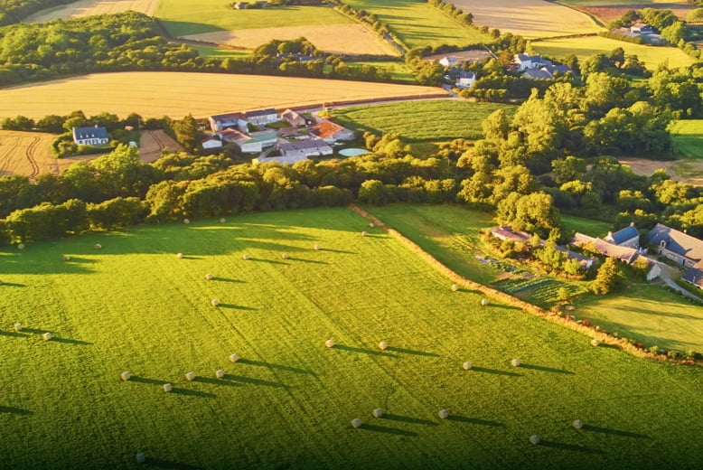
Precision Agriculture
Streamline data sampling with timely drone-based collection methods; optimizing crop management and effective disease control.
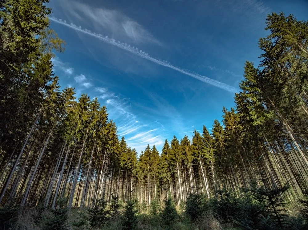
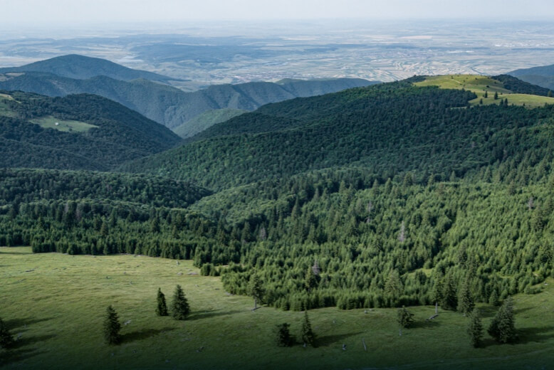
Forestry
Forest inventory and management involve conducting surveys over extensive areas. Drones enhance the data collection process by providing highly accurate and digitized data, leading to increased efficiency in forest management.