
Key Features
3D / Point‑Cloud Editing — DJI Modify lets you clean up, smooth, and repair 3D point clouds generated from drone data.
Automatic Terrain & Object Classification — Automatically classify elements (ground, buildings, vegetation, etc.) and generate a clean terrain model.
3D Mesh Repair & Noise Reduction — Detect and fix mesh defects, remove unwanted noise, objects, or artifacts from 3D reconstructions.
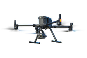
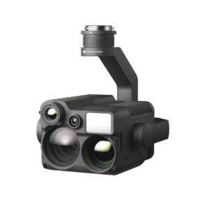
Post‑processing Workflow for Drone Data — Works as a post‑processing tool after mapping and surveying missions, preparing data for professional use.
Integration with Enterprise GIS & Mapping Workflows — Designed to fit into enterprise‑level workflows: mapping, surveying, construction, infrastructure inspection, and GIS analysis.
Use Cases / What It’s Used For
Surveying & Mapping — Cleaning and refining data for terrain models, topographic maps, and 3D land analysis.
Infrastructure & Construction Planning — Preparing clean 3D models of land or buildings to support construction, site planning, or structural inspection.
Environmental & Land‑Use Analysis — Generating accurate terrain and land‑cover data for environmental, forestry, or agricultural projects.
Post‑processing Drone Data for Professional Projects — For any use where the raw point cloud needs refining before use in CAD, GIS, or planning software.


Reviews
There are no reviews yet.